From Pai I decided to keep the scooter I had for the day for another five and head across to Mae Hong Son. I couldn’t carry too much stuff so I packed some clothes into my day bag and left my backpack and a few other bits at the hostel in Pai.
As all the t-shirts in Pai point out, there are 762 curves to “survive” on the way up. By the time the highway 1095 reaches Mae Hong Son that has extended to 1864 making for a nice ride, even if the scooter was a little underpowered for a few of the steeper sections. The 110km leg takes about three hours including a few stops with some stunning scenery on the way, as is becoming the norm for North Thailand. Not too many tourists make it here and those that do are usually just stopping for a day or two while riding the Mae Hong Son loop, myself included.
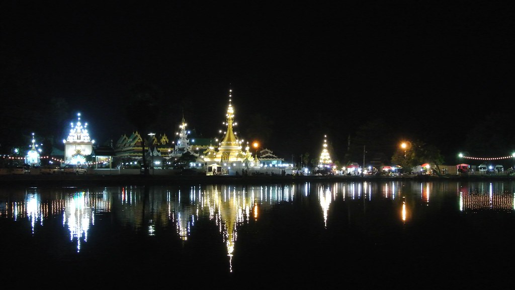
The town is centered around the small but charming Jong Kham lake and the wat (temple) of the same name. There is a night market here too though unusually there aren’t that many stalls. There are always a handful of locals around the lake, jogging, playing guitar or just lounging around. The name Mae Hong Son means The City of Three Mists and it’s easy to see why in a morning.
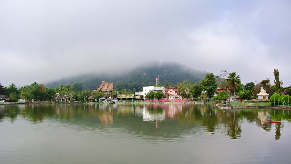
Misty morning (above). Wat Jong Kham in the evening (below).
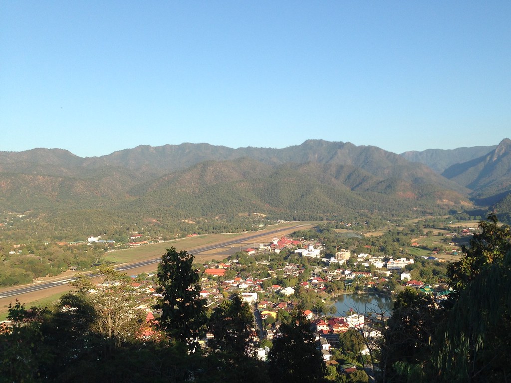
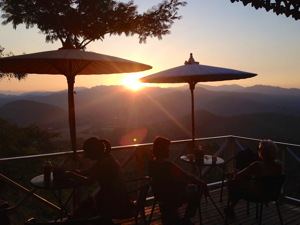
Another temple in town, Wat Phrathat Doi Kongmu, is up on a hill with two great views. The temple side looks down into the vally and over the town and lake. From the opposite site you can watch the sunset, either from a view point or the aptly named Before Sunset Coffee Shop.
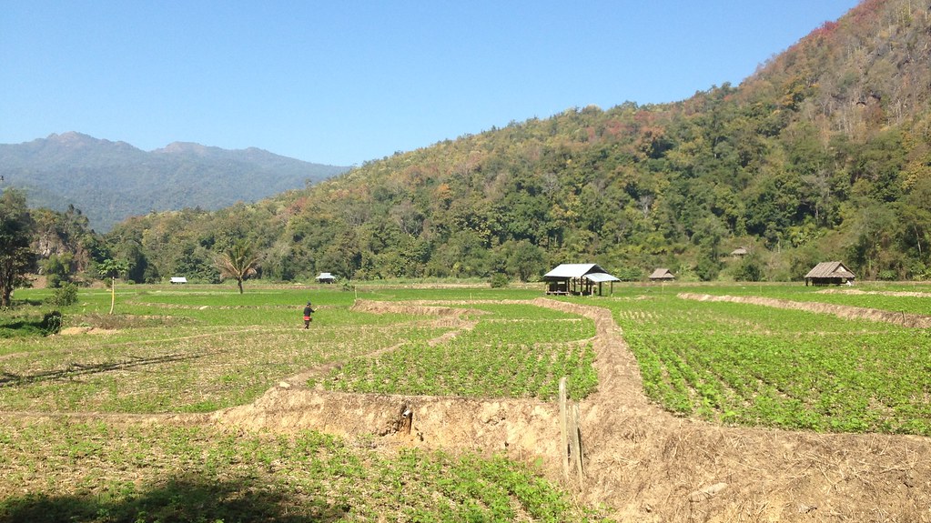
Part of the reason taking the scooter to Mae Hong Son was that I’d be needing one anyway. The Tham Pla - Pha Suea National Park is close by and covers over 480km2 so you really need your own transport to get about.
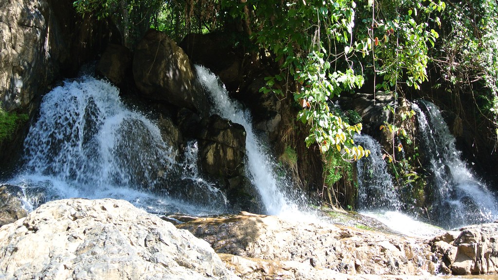
My first stop was the Pha Suea waterfall which was far better than the one I visited in Pai. I had the place to myself for a while too so I clambered about for a better view of the higher levels.
A bit further into the national park I found the Bamboo Forest, a short nature trail that didn’t take too long to walk around. There were a couple of buildings nearby that looked like a visitors centre or rangers station but like those at the waterfall (and in Jurassic Park), they were both open but completly empty of visitors and staff.
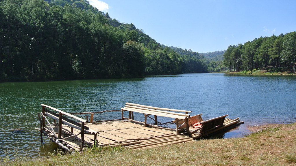
Further still is the reservoir at Pang-Oung. I didn’t know about it beforehand and was just following the blue tourist signs that are dotted about Thailand. I followed the windy road 7km from the sign and was just about to give up when I spotted it. I could have easily been in Europe.
After the reservoir I headed back towards town. From Google Maps I could see I was very close to the Burmese border and while I presumed the road would either stop or be patrolled I wasn’t going to chance accidentally crossing it. According to an expat American I was chatting to later on it is possible to ride a bit further down and actually see the Thai and Burmese military posted on each side of the border. I was pretty gutted to hear that, but I did see enough of Mae Hong Son to be glad I made the ride from Pai.
More photos from Mae Hong Son on Flickr.